That leaves a choice. We could commission a render, caption it as though it were a design, and let a reader assume they have seen the building. We are not doing that. Every visual on this site is explicitly indicative and labelled so. What this page offers instead is the honest version: what the land looks like today, what the drive in feels like, what surrounds the parcel on every side, what the filed envelope allows us to infer about massing, and the specific list of things a buyer should insist on seeing before any money changes hands.
If you find an image online captioned "Prestige Park Lane elevation" or "Prestige Park Lane images", it is not a developer render for this parcel, because none has been issued. Treat it as decoration.
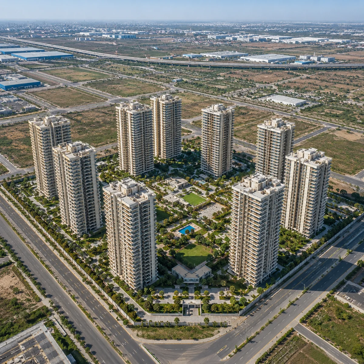
The Approach — What the Drive In Is Actually Like
The route runs east. From NH-44 at Devanahalli — 9.74 km and about 20 minutes from the site at morning peak — you turn onto the Satellite Town Ring Road, which at this location is NH-648. The STRR carriageway is 3.32 km from the site by road, roughly seven minutes, and it is the single strongest piece of infrastructure the project has: the Dabaspete–Devanahalli–Hoskote section has been open since 11 March 2024. It is delivered, not promised, and it is what you will drive on.
Then the character of the journey changes. The last stretch turns off the highway into the internal grid of KIADB Hi-Tech Defence & Aerospace Park Phase-2, and that grid is a building site. Within 1.5 km of the parcel, OpenStreetMap holds 169 road segments — 55 of them tagged as under construction and 138 with no surface recorded at all. Only twelve of those 169 segments carry a name, and all twelve are the STRR itself.
The practical consequence is worth picturing before you go. You will not navigate the last mile by street name, because there are almost none. Expect a mix of finished carriageway, laid-but-unsurfaced formation and active earthworks; expect construction traffic; expect to arrive by plot number and coordinates rather than by address. The pin is 13.211184, 77.765831. Visit in daylight, and if you can, visit twice — once on a weekday when the industrial estate is working and once at the weekend when it is not. The difference tells you a great deal about what living here would be like.
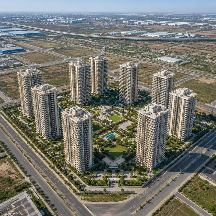
The Frontage and the Parcel Itself
The land is assembled from seven numbered KIADB plots plus an internal road: Plot Nos. 13, 14-P, 14-P1, 19-P, 19-P1, 20, 24 and Road No. 8, in Haraluru village, Channarayapatna Hobli, Devanahalli Taluk, in the district renamed Bengaluru North by cabinet decision on 2 July 2025 and previously called Bengaluru Rural. The postal code is 562135.
That list of plot numbers is itself the most useful visual fact on this page. Land described by numbered plots and a numbered road is laid-out industrial land, not survey-numbered agricultural land. What a visitor sees is a parcel inside a planned industrial layout, in an area where the roads, the plot geometry and the services grid were set out by KIADB before anyone proposed housing on it. There is no gate, no boundary wall carrying a project name, no marketing pavilion, no sales lounge and no signage announcing a residential development, because none of that exists yet.
The extent recorded in the filing runs from 13.209652, 77.762852 in the north-east to 13.212693, 77.766138 in the south-west, enclosing 32.26 acres — 13.0552 hectares in the filing's own units. Note that 32.26 acres is the verified figure. A figure of about 12 acres circulates in pre-launch material; it is contradicted by the developer's own filing and should not be used to picture the site.
One further point about tenure that shapes what you are looking at. The ownership document recorded in the filing is a KIADB allotment letter, not a sale deed. And KIADB's own pre-feasibility report for this industrial area allocates zero acres to residential use across the whole 1,210.85-acre layout — industrial, commercial, amenities, utility, park and green buffer, parking and road, but no residential line item. The developer has nonetheless filed the scheme as a Residential & Commercial Development. Precedent exists 1.38 km away, where Brigade holds Plots 305–309 for a 75-acre township. But this parcel should not be described as unambiguously residential-zoned, and a visitor should ask to see the allotment terms rather than assume them from the fact that a residential project has been proposed.
The Neighbours — What Is Actually in the Frame
This is the section that most pre-launch pages for this corridor get wrong, and it is the one that most changes what a buyer expects to see.
Within 3.6 km of the parcel, by road:
| Neighbour | Routed distance | Drive at AM peak |
|---|---|---|
| Brigade's KIADB township parcel | 1.38 km | 3 min |
| Exide Energy Solutions lithium-ion gigafactory | 2.50 km | 5 min |
| Autocrat Engineers | 2.53 km | 5 min |
| Carl Zeiss campus | 2.94 km | 6 min |
| Satellite Town Ring Road (NH-648) carriageway | 3.32 km | 7 min |
| IFFCO Nano Urea plant | 3.61 km | 7 min |
That is the view. Not an aerospace campus skyline — the aerospace cluster sits on the far side of a four-kilometre-wide airport, with the nearest of those employers more than 10 km away by road and most of them 13 to 16 km — but an operating industrial estate, anchored by an 80-acre battery gigafactory whose first 6 GWh phase is targeted for the end of 2026 and which is planned to reach 12 GWh, an optics and metrology campus, a fertiliser plant and a large mixed-use township under construction next door.
Say the obvious thing plainly: a buyer expecting a residential outlook will not find one today. What surrounds the parcel is industrial plots in various states of construction, and the immediate visual character of the pocket over the next several years will be determined by how quickly those plots build out rather than by anything the developer does inside the 32.26 acres. That is not automatically a negative — proximity to real, funded, under-construction employment is the strongest argument this location has, and it is a far better one than the airport-adjacency story it is usually sold on. But it is a different picture from the one a render would show you.
The Sky Over the Site
The most distinctive sensory fact about this parcel is not on the ground.
The site sits 4,637 metres beyond the eastern threshold of Runway 09L/27R at Kempegowda International Airport, with a lateral offset of only 521 metres from the extended runway centreline. That places it inside the approach funnel. Aircraft on a standard three-degree approach to Runway 27R cross this point at roughly 243 metres — about 800 feet — above the runway threshold elevation, and departures climbing out on 09L pass overhead in the other direction.
You will see and hear this on a site visit, and it is the one aspect of the site that no photograph or render would ever have conveyed. Some buyers find aircraft on final approach at 800 feet genuinely appealing; others find it disqualifying. Nobody should discover it after signing. Stand on the parcel for twenty minutes during a busy arrivals bank and form your own view.
It has an approvals consequence too. An Airports Authority of India height No Objection Certificate is mandatory here, because the site lies 6.61 km from the airport reference point and the 2015 Height Restrictions Rules require one anywhere within 20 km. No NOC is on record. Until AAI issues one, nobody — including us — can state what height is permitted on this parcel, which means the tower and floor counts in circulation are proposals rather than sanctioned outcomes.
Corridor Context — Where the Lived-In Imagery Comes From
Marketing for this belt tends to illustrate itself with photographs of places that are not adjacent to the parcel being sold. The routed distances are worth having in front of you when you look at any of it:
| Destination | Routed distance |
|---|---|
| The Arcade / Bazaaro, Brigade Orchards — nearest retail | 7.06 km |
| Sattva Park Cubix, Devanahalli | 7.75 km |
| Ramaiah Leena Multispeciality — nearest hospital | 8.24 km |
| Brigade Orchards — nearest branded residential | 8.59 km |
| Devanahalli town centre | 9.16 km |
| Devanahalli railway station | 9.56 km |
| DMart, Devanahalli | 9.98 km |
| KIA Terminal 1 | 19.34 km |
| Nearest planned metro station (KIAL Terminals) | 17.94 km |
| Harrow International School — nearest international school | 22.22 km |
| Cytecare, Yelahanka — nearest tertiary private hospital | 29.22 km |
There is no mall, no organised high street and no cinema within 7 km, no tertiary private hospital within 25 km, and no international school within 22 km. The nearest supermarket is 7.06 km away. The nearest completed, occupied, branded residential community — the kind of streetscape that corridor brochures photograph — is 8.59 km away at Brigade Orchards.
The airport belongs in this picture as regional context rather than as an adjacency. Kempegowda International handled 44.47 million passengers and 532,012 tonnes of cargo in FY2025-26 and has been India's leading perishables gateway five years running, and that scale of activity is what underwrites employment across the whole belt. But the terminal is 19.34 km away by road, not the 6.5 km a straight line suggests, because the airport has no eastern gate: every route runs west along the STRR to NH-44 and back south to the terminal entrance. Budget 26 minutes off-peak and closer to 40 at morning peak. Any image or claim implying you can see the terminal from the balcony, or reach it in ten minutes, is measuring the wrong thing.
There is no metro station planned near the site either. The nearest planned station, KIAL Terminals, is 17.94 km away and inside the airport on the far side of it; the Blue Line alignment runs north along NH-44 and never turns east. Phase 2B, from KR Puram to KIAL Terminals, is currently targeted for December 2027.
What the Filed Envelope Implies About Massing
No elevation has been published, so the honest thing is to say what can and cannot be inferred from the one filed document that exists.
What the filing establishes. 3.84 million sq ft of proposed built-up area — 3,843,780 sq ft, converted from 357,097 sq m — on 32.26 acres, which is 1,405,246 sq ft of land. That gives a gross floor-area ratio of 2.74, or approximately 2.05 once the two basement levels are stripped out at a conventional 25% of built-up area. Karnataka permits up to 5.2 on KIADB industrial land, and the environmental clearance for the adjacent Brigade parcel records 3.25. Nothing about this envelope is aggressive. On a parcel of this size, an FAR near 2.05 is what produces open ground between towers rather than a wall of building along the boundary.
What we can derive, labelled as derivation. The project information supplied to us describes approximately 1,800 apartments across nine towers of two basements plus ground plus 25 upper floors. Taken at face value, that is roughly 200 apartments per tower and about eight apartments per floor — which implies a double-loaded corridor or twin cores of four, not a slim point tower with private lobbies. Above-grade area of about 2.88 million sq ft across nine towers over 26 levels each works out to roughly 12,300 sq ft per floor plate, and nine such plates cover under 8% of the parcel. A tower at 2B+G+25 with 3.0 to 3.2 m floor-to-floor, plus lift overrun and parapet, would stand around 78 to 85 metres. Those are our figures from supplied inputs, not the developer's, and every one of them moves if the tower count or the unit count changes.
What cannot be inferred at all. The material palette. The fenestration pattern. Whether the balconies are ribbon or recessed. The colour. Whether there is a rooftop architectural cap. The lobby treatment. The landscape design. The clubhouse form. None of that is derivable from a floor-area figure, and any page that describes it is describing something it has invented.
What the site argues the elevation will have to address, whoever designs it: acoustic glazing, given the approach path; solar shading on the western elevations; and a facade that reads as residential in a setting that is otherwise industrial. Those are constraints, not a description.
The Amenity Spaces
The amenity schedule supplied to us is explicitly tentative, and it lists what a Prestige-branded development of this scale would ordinarily carry: a clubhouse, a swimming pool, a gymnasium, landscaped open spaces, a children's play area, sports courts, jogging tracks, an indoor games room, a multipurpose hall, a senior citizens' court, perimeter security, two basement levels of car parking, a sewage treatment plant, rainwater harvesting and power backup for common areas.
What is missing from that list is every number that would let you picture it. No clubhouse area has been published. No open-space percentage. No parking bay count. No sewage treatment plant capacity. No pool dimension. A clubhouse serving 1,800 apartments is a very different building from one serving 2,600, and the filed envelope supports the larger figure. Until a sanctioned plan exists, the amenity schedule is a list of categories, not a specification, and there is nothing to photograph.
The rainwater harvesting line deserves particular attention rather than being read past. Devanahalli has no perennial surface water source and no Cauvery supply; it runs on deep borewells and tankers, in a block officially classified as over-exploited, with Devanahalli reported consuming around 169% of its permissible extraction. Cauvery Stage VI — ₹6,939 crore, 500 MLD, covering Devanahalli, Hoskote and Anekal — was approved by the Karnataka cabinet in February 2026 and is at planning stage, with the earliest supply discussed around 2028. And on KIADB industrial land, water supply is KIADB's responsibility, not BWSSB's: a residential tower here inherits an industrial-estate water regime rather than a city one.
What to Ask to See Before You Commit
Bring this list. Every item is a document or a sight that exists or should exist, and each one is more informative than any render would be.
- The KIADB allotment letter, and the permitted land use recorded on it.
- The survey numbers for the parcel. This is the single most important open item: they would settle whether the land sits in the tranche KIADB acquired and can allot, or inside the separate 1,777.29-acre block across these villages that the Karnataka cabinet dropped on 15 July 2025 and declared a permanent Special Agricultural Zone on 6 December 2025. The parcel carries numbered KIADB plots and a road number, which points to the laid-out tranche, but nobody can state it with certainty without the survey numbers.
- The PARIVESH status page for proposal
SIA/KA/INFRA2/588626/2026. Check it yourself. As of writing it is at Fresh Terms of Reference stage, under examination — no ToR granted, no environmental clearance. - The AAI height No Objection Certificate, or confirmation of where the application stands.
- The sanctioned building plan, and which authority sanctioned it. On KIADB-allotted land, plan sanction ordinarily rests with KIADB rather than with BIAAPA. No plan is on record.
- The Karnataka RERA registration. There is none, and no application has been filed.
- KIADB's written commitment on water supply to the parcel, and the borewell yield from the geotechnical report.
- The floor plate, with carpet areas alongside super built-up areas, and the specification annexure.
- The internal road status — which of the surrounding Phase-2 roads are handed over and which are still being formed.
When Images Will Actually Exist
There is a sequence, and it is worth knowing so that you can judge what stage any future material has reached. Terms of Reference are granted; the environmental impact assessment is prepared and a clearance issued; a building plan is sanctioned; the project is registered with Karnataka RERA; and only then does a brochure with sanctioned floor plates, an approved elevation, a master plan and a show flat become meaningful. The environmental application here was filed on 11 August 2026 and remains under examination, so that sequence is realistically a year or more from producing anything.
Until then: Prestige Park Lane KIADB is not registered with Karnataka RERA, and no application for it has been filed. A full parse of the K-RERA project registry — 9,895 rows — returns nothing under this name, under "Prestige Holland", under "Prestige Battersea", or under the filing entity Apex Realty Management Private Limited. Under Section 3 of the Real Estate (Regulation and Development) Act 2016 a project this size has to be registered before it can be advertised, booked or sold at all, so neither a booking receipt nor an allotment letter can validly be issued in the meantime. Verify the position yourself at rera.karnataka.gov.in.
Any render that appears before that registration is marketing material, not a sanctioned design — and it can change without anybody being accountable for the change. The visuals used on this site are indicative and are labelled as such on every frame. The land, the corridor, the neighbours and the sky above the parcel are the only things about this project that can honestly be shown today, and they are what this page has described.
Prestige Park Lane KIADB Gallery FAQs - Frequently Asked Questions
How far is Kempegowda International Airport by road, and how long does the drive take?
The airport is 6.5 km from the site in a straight line but 19.34 km to Terminal 1 and 19.94 km to Terminal 2 by road, realistically about 26 minutes off-peak and closer to 40 minutes at morning peak. The airport has no eastern gate: every route runs 1.4 km of local road, roughly 8.2 km west along the Satellite Town Ring Road, 3.3 km south on NH-44, then in at the KIAL entry road. Any claim of a ten-minute drive to the terminal is measuring the straight line, not the road.
Does the project have environmental clearance, and which authority sanctions the building plan?
No. A Fresh Terms of Reference application was submitted to PARIVESH on 11 August 2026 under proposal SIA/KA/INFRA2/588626/2026, with single-window references CAF/277949/2026 and SW/292273/2026, and is under examination. No Terms of Reference have been granted and no clearance issued, so the impact study that follows a ToR grant has not begun. On the planning side no approval of any kind is on record; because the land is a KIADB allotment inside a notified industrial area, plan sanction ordinarily rests with KIADB rather than with BIAAPA, the Bengaluru International Airport Area Planning Authority.
Does a tower here need an AAI height NOC, and is the site under the flight path?
Yes on both counts. The site sits 6.61 km from the Kempegowda International Airport reference point, and the 2015 Height Restrictions Rules require an Airports Authority of India No Objection Certificate anywhere within 20 km, whatever height is proposed. The parcel lies 4,637 m beyond the eastern threshold of Runway 09L/27R with a lateral offset of only 521 m from the extended centreline, placing it inside the approach funnel; aircraft on a three-degree approach to Runway 27R cross this point at roughly 800 feet. What height AAI will permit is its decision alone, and no published figure exists for these coordinates.
What will the all-in cost be after GST, stamp duty and registration, and did Karnataka change the registration fee?
Budget about 12.65 per cent over the base price: GST at 5 per cent on an under-construction purchase with no input tax credit, Karnataka stamp duty at 5 per cent, cess at 0.5 per cent, surcharge at roughly 0.15 per cent, and the registration fee at 2 per cent. Karnataka did change the registration fee - it doubled from 1 per cent to 2 per cent with effect from 31 August 2025 - so any cost sheet or calculator still using 1 per cent understates your outgo. This loading excludes floor-rise, car parking, clubhouse contribution, corpus, maintenance advance and legal charges, none of which has been published for this project.
Is a pre-launch position here a sensible investment?
That depends on what you are buying into, and at this stage you cannot buy into anything with legal standing. This is a corridor-conviction position rather than a project-conviction one: it works for someone who believes the airport belt's industrial build-out will continue and can hold through it, given a gigafactory, an optics campus and a fertiliser plant within 3.6 km and the STRR open at 3.32 km. It works much less well for someone needing a near-term home with schools, hospitals and shops in place, or resale liquidity inside a few years. Until a registration exists there is no enforceable timeline, specification or price.
How do I register interest, and what happens next?
Use the enquiry form on the contact page, which asks for your name, phone number, email address and your question. Because there is no registration, no launch and no official price list, an enquiry today puts you on the list to be contacted when those exist, and gets you a written answer on the current approval status. Nobody should be asking you for money at this stage, and we will not. Expect a response within one working day.